
Explore the Shire
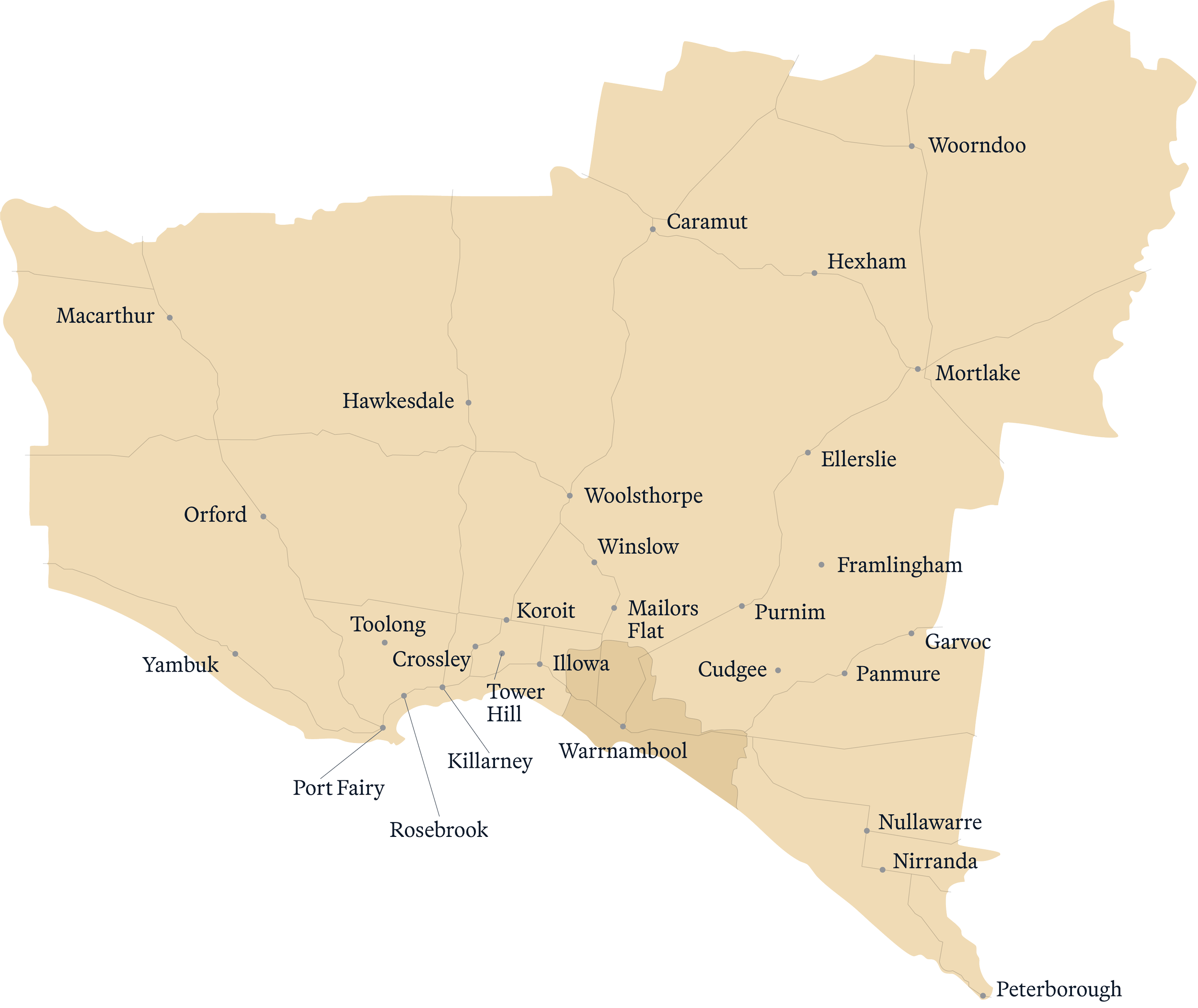
Map of Moyne
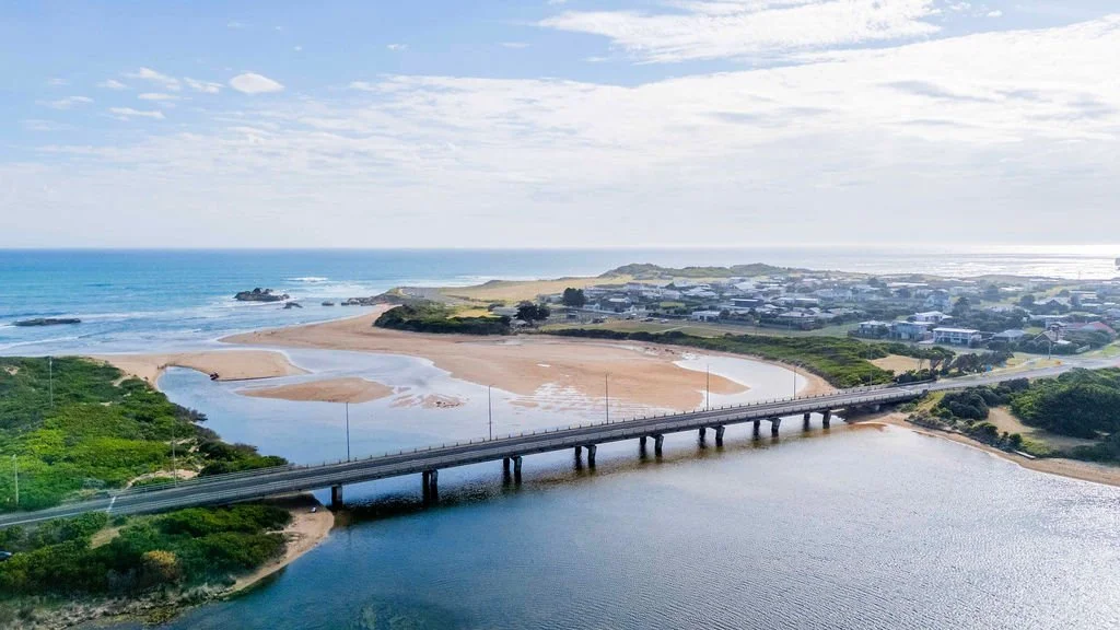
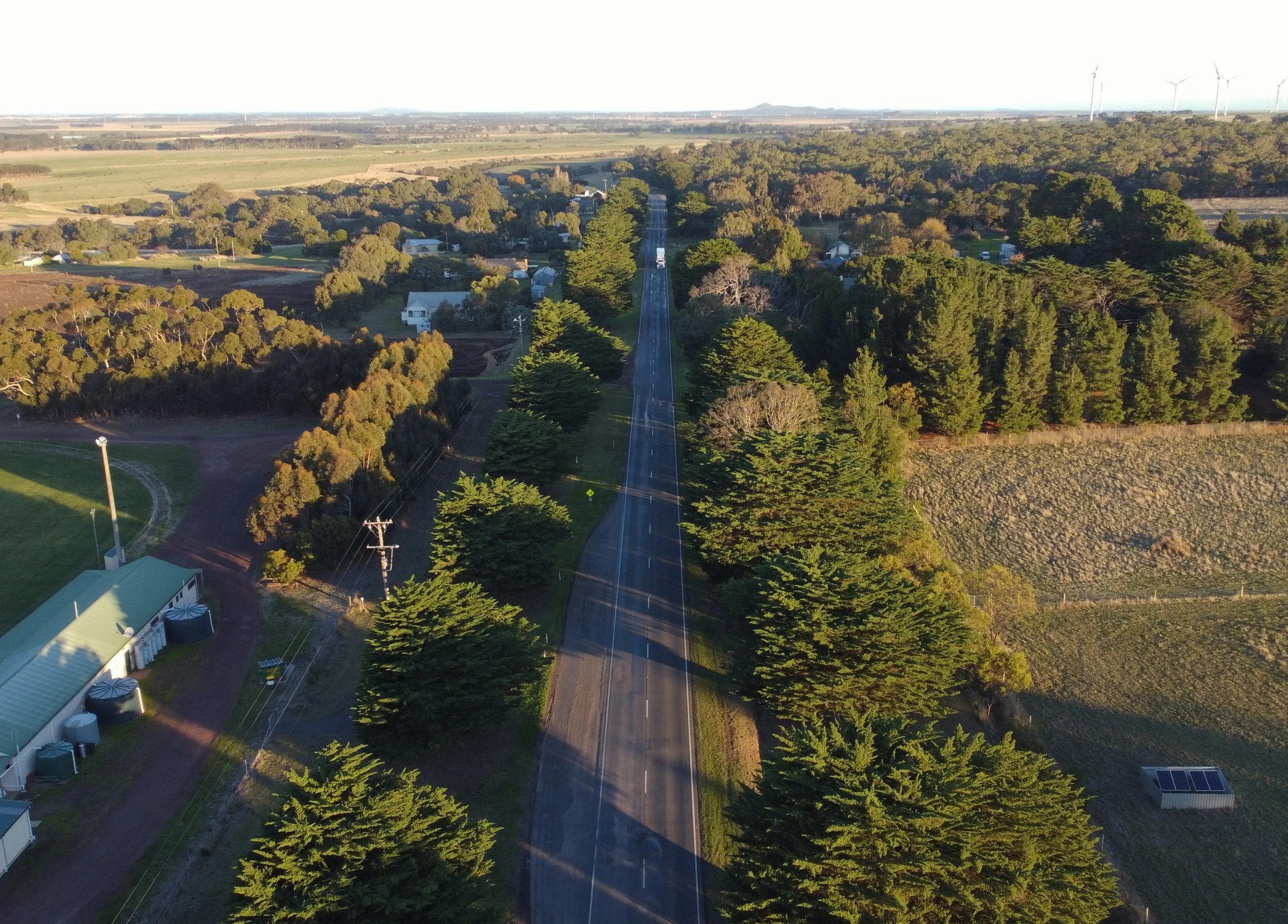
Home to around 17,500 people, Moyne Shire is made up of more than 50 localities, from quiet country towns to the nationally renowned Port Fairy.
Even towns that appear as dots on the map have much to offer — freedom, space, connection with nature, and welcoming, supportive communities. Many smaller towns are grouped with neighbouring localities in the descriptions to give you the full picture.
Explore the Shire —Our Towns, Our Way of Life
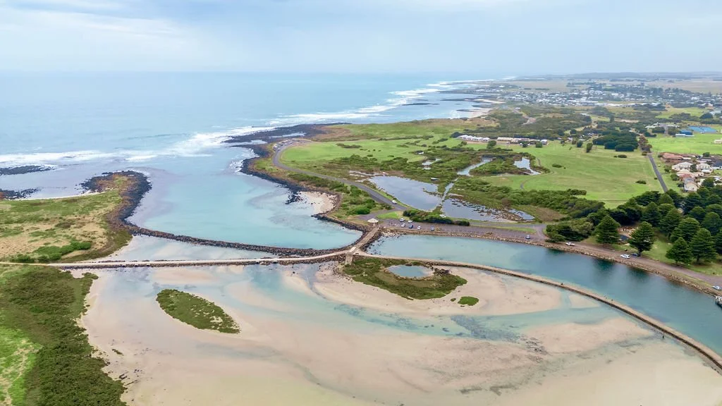
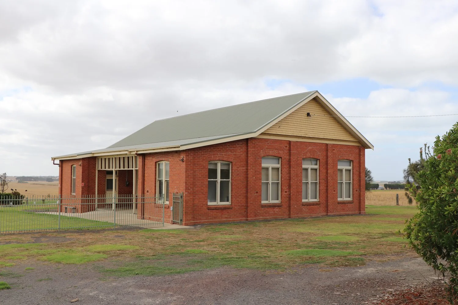
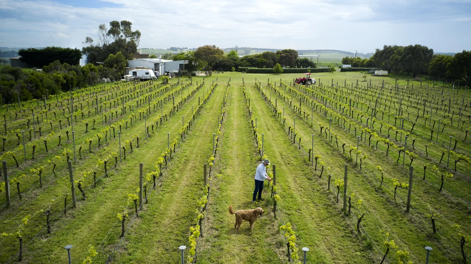
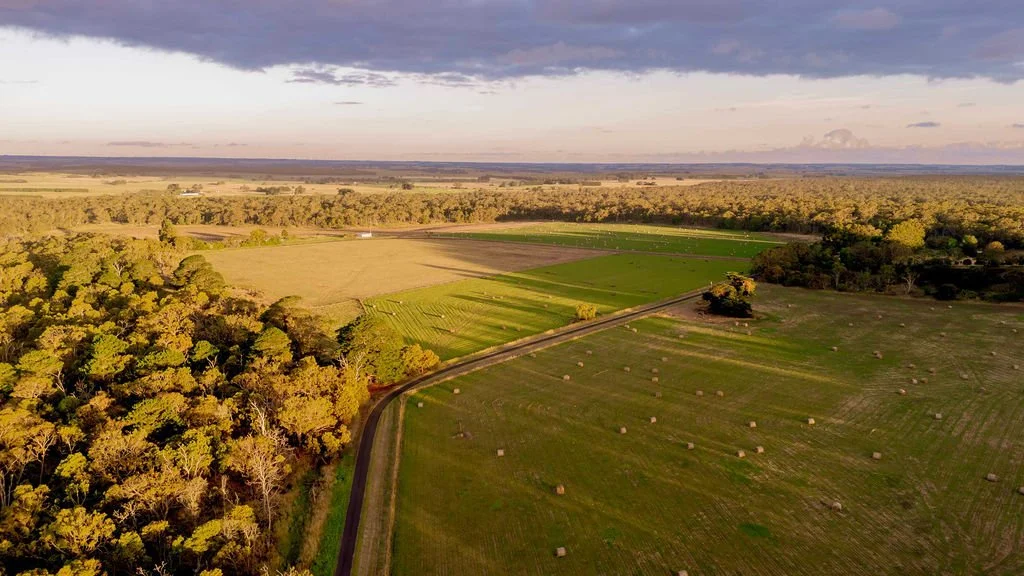
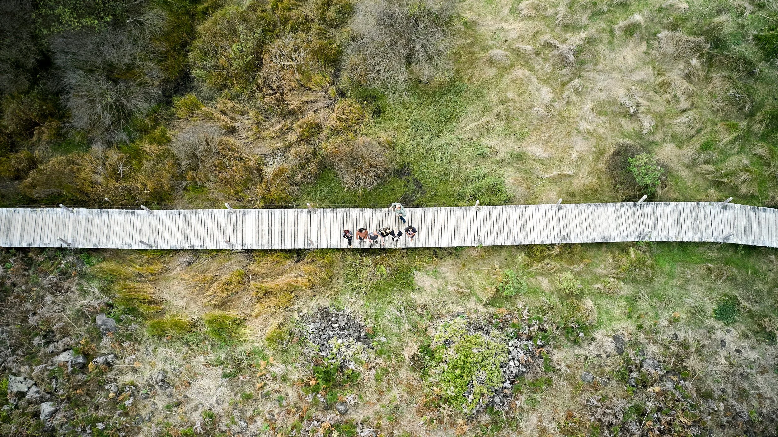
Moyne Shire sits on the traditional lands of the Eastern Maar people, stretching from the iconic Great Ocean Road coastline through volcanic plains, lush farmland and charming country towns.
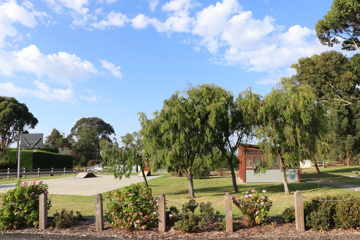
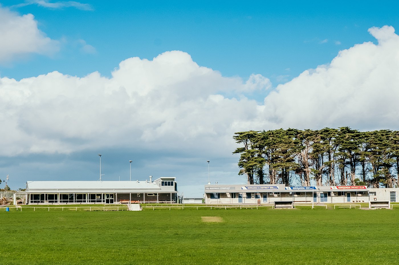
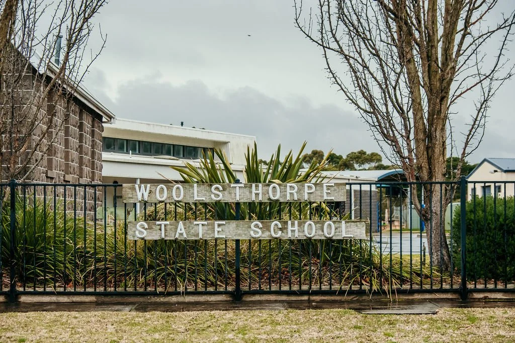
Here, you’ll find communities that are small enough to know your name but big enough to offer everything you need — schools, services, events, and a genuine sense of belonging.
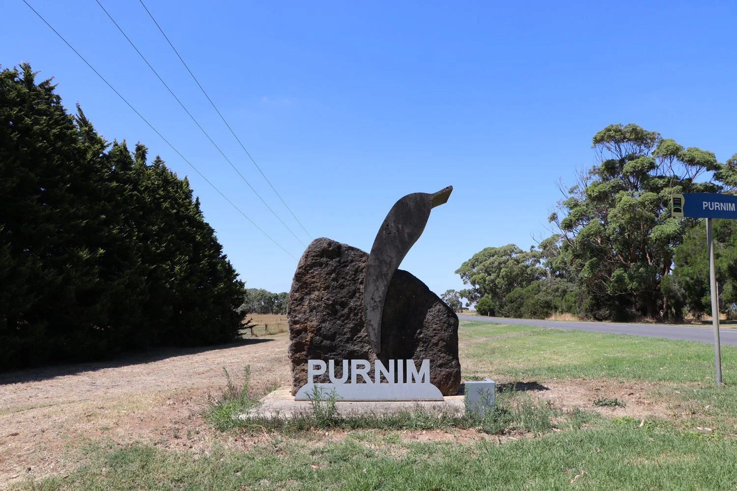
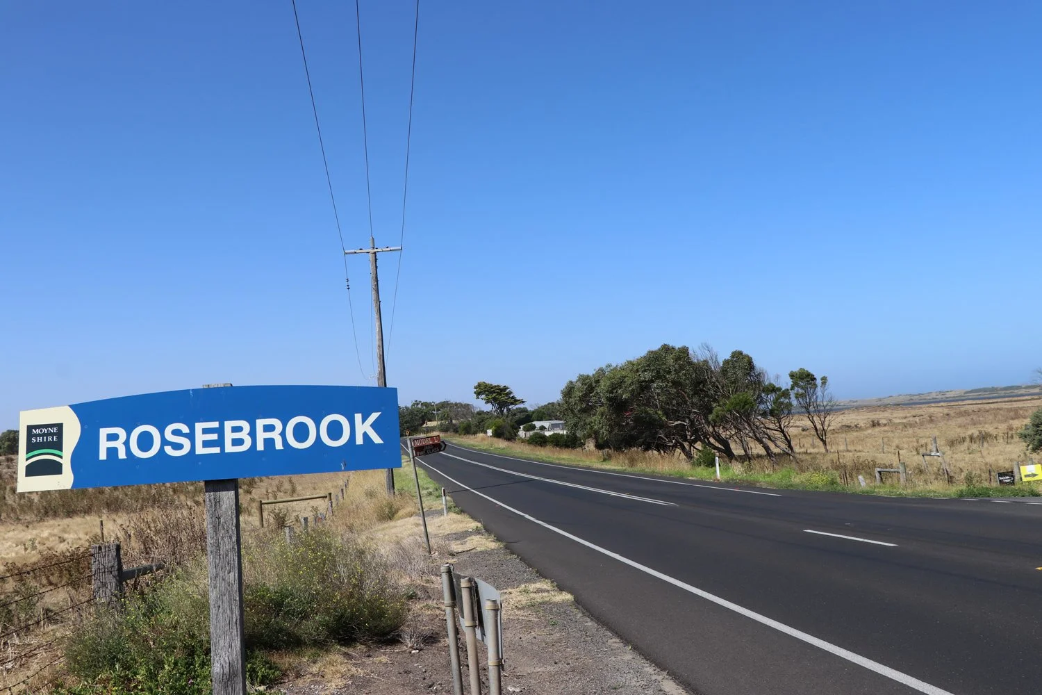
Moyne Shire is home to more than 50 townships and localities. On this map, you’ll see the locations that align with the official Census data breakdown, which is organised by postcode areas, some of our smaller localities may not appear individually and are instead included under a shared postcode area. If you’re looking for a particular place and can’t spot it, there’s a good chance it’s represented within its wider postcode community.
Tips for Making It Moyne
-
Don’t rely only on realestate.com.au, domain.com.au, or view.com.au — many Moyne properties are listed only with local and district real estate agents.
-
Most smaller localities are not connected to town water, gas, or sewerage. Water tanks, septic systems, and bottled gas will be needed for new builds. Water can be delivered by tanker.
-
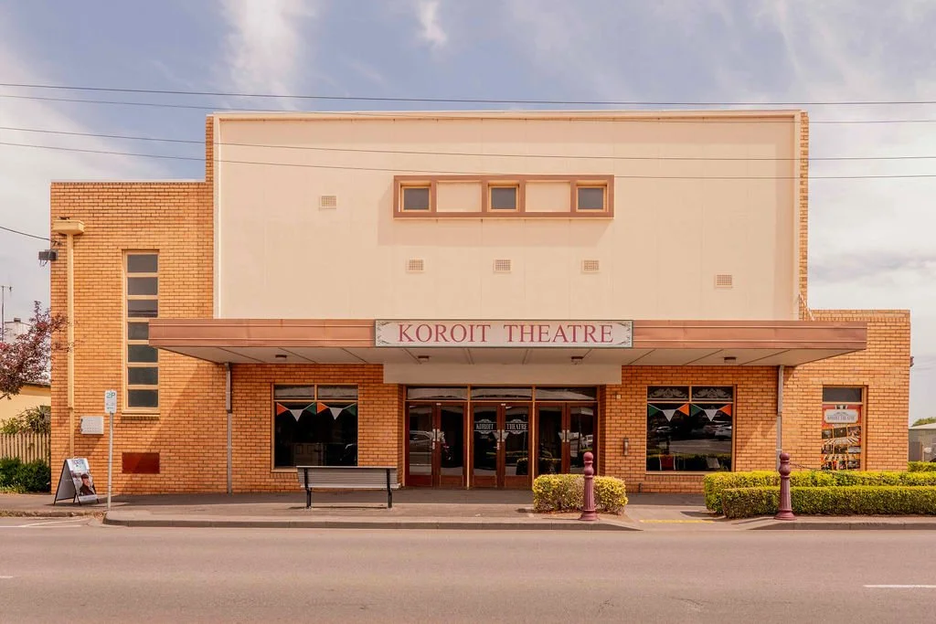
For reliable coverage, satellite connections or boosters may be required. The NBN fixed wireless service is being upgraded across the shire, with fibre optic available in Port Fairy, Koroit, and Mortlake.
-
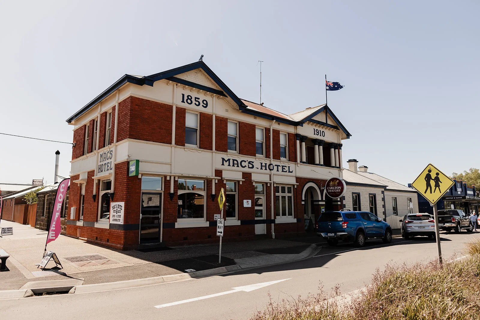
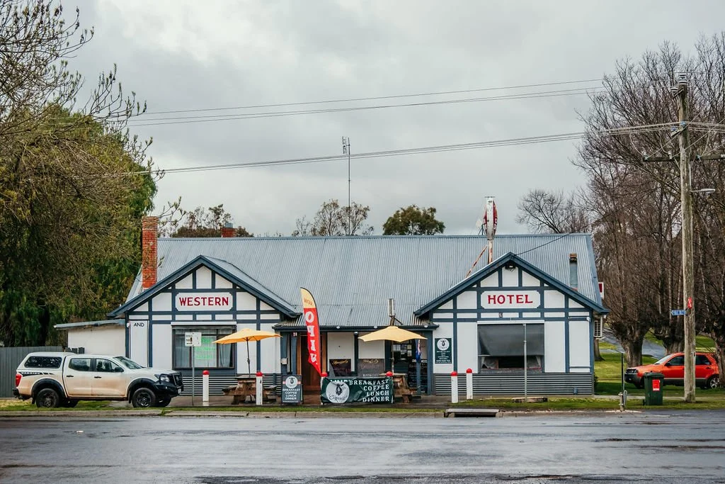
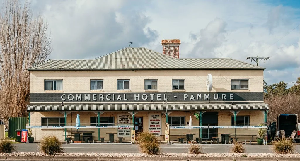
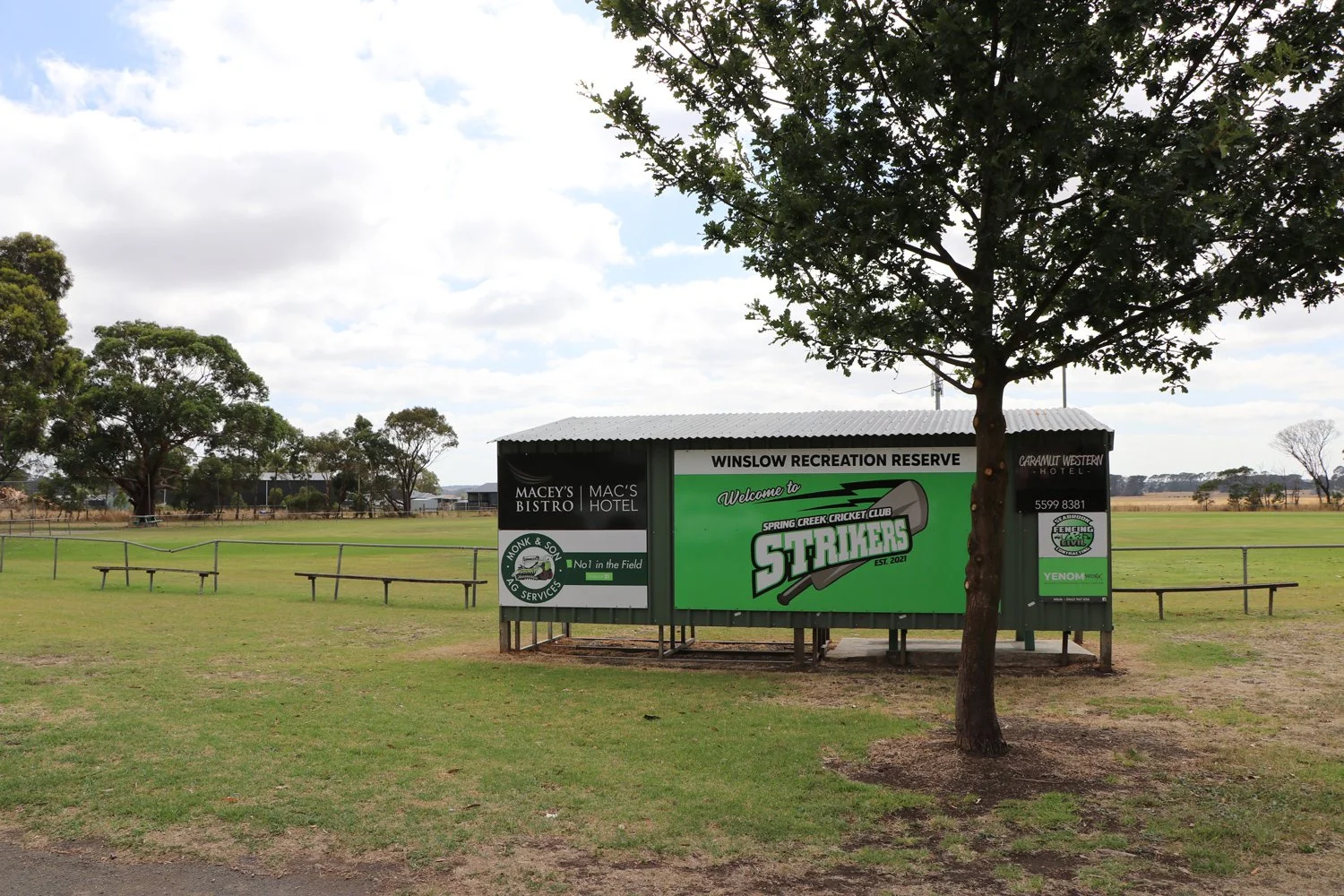
Pubs and hotels in smaller towns are more than a place to eat — they’re the heart of the community, hosting family gatherings, knitting circles, coffee meetups, and local groups.
-
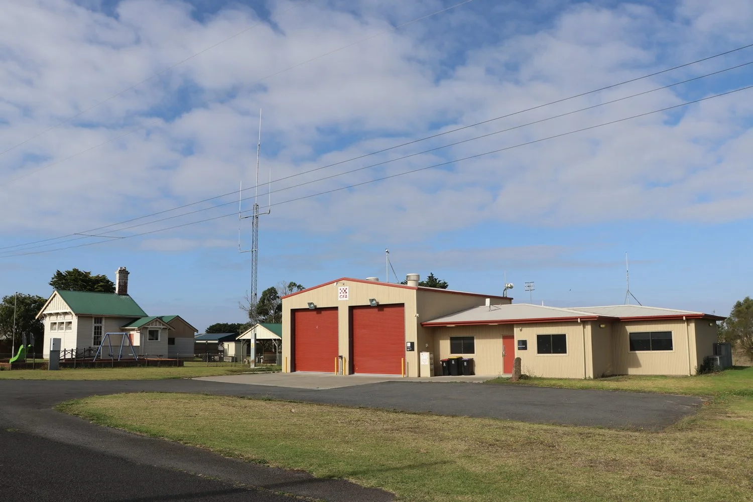
Volunteering or joining community groups is a great way to meet people. Moyne has a higher-than-average volunteer rate, with opportunities ranging from footy teams and CFA, to wildlife conservation and CWA.
-
For local schools, realtors, builders, and new-build incentives, contact:
Ready to move to Moyne?
Moyne’s on your radar for a reason. When you’re ready, we’ll help you get settled.